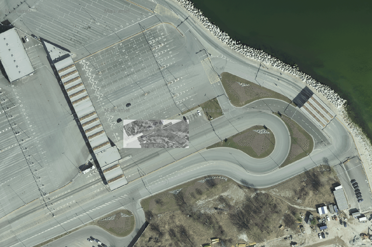
In 2016, construction began on a new car loading and unloading area for Terminal D in Tallinn’s Old City Harbor. It was known that there might be shipwrecks in the area. Senior researcher Hannes Tõnisson (PhD) from the Tallinn University Ecology Center conducted a 2D ground-penetrating radar survey in the port area to determine the exact location and position of the shipwrecks. A total of 13 profiles were measured in different directions in 2016, and conclusions were drawn about the location and position of the shipwreck. Although the radargrams allowed us to conclude that it was a shipwreck and determine its location, we could not be 100% certain, as the wreck was not visible.
TASK
In order to visually confirm whether the suspected shipwreck was located in the area and to determine its exact location, it was decided to rescan the entire area where the wreck was thought to be located using a multi-channel, high-resolution 3D GPR.
SOLUTION
As the task was to visually display the shipwreck in its actual location, it was decided to use the Raptor 3D ground-penetrating radar manufactured by the Swedish company ImpulseRadar. Since the exact depth of the shipwreck was unknown, a 450 MHz antenna array was used. The Raptor 450 MHz antenna array consists of multiple antennas that can scan 8 profiles with 8 cm spacing in a single pass. This provided sufficient data from the survey area to create high-resolution views of the object under investigation.
RESULT
A total of 75 swaths were scanned in the survey area, each with 8 profiles, for a total of 600 profiles. In order to place all the collected data accurately in its correct location, positioning was performed with a highly accurate RTK GNSS device.
Data post-processing and visualization were performed using new software called Condor. Condor is a new and effective tool for processing, visualizing, and interpreting data from the Raptor 3D GPR.
Data acquisition with the Raptor 3D GPR and data processing with Condor software made the underground wreck visible to everyone. As a result of this survey, the shape, size and exact location of the shipwreck can now be seen.

