A residential building was undergoing renovation in the village of Valingu in Harju County. It was known that, in addition to the existing building, there had been other buildings on the site in the past. However, these had been demolished decades ago and replaced with landscaping. It was not possible to identify the locations of the demolished buildings by eye, and there were no accurate drawings of them.
TASK
During the renovation work, it was planned to install new external water and sewage pipes and electrical cables in the preserved building. All external connections were planned to come from the direction where the demolished buildings had been located. It was known that the foundation wall of one old building and probably also a cellar filled with soil should have remained in the ground. The task was to identify and mark the location of the foundation wall and cellar on site so that the new pipes and cables could be installed around them.
SOLUTION
Since the task was to locate and mark underground walls in a small area, it was decided to use a small push-type GPR PinPointR with two frequencies: 400 MHz and 800 MHz. The 400 MHz antenna is well suited for detecting underground ruins and foundations, as it can generally see to a depth of 3 meters and has sufficient resolution to detect even thinner walls. Although preliminary information indicated that there should be one foundation wall and one cellar in the survey area, test scanning revealed that there were likely more ruins hidden beneath the ground. Based on this, it was decided to scan the entire survey area with a dense survey grid. Since no positioning devices were used during the scanning, the corners of the survey grid were marked precisely in the field.
RESULTS
Raw data was collected from 74 profiles in the survey area. The raw data was processed using special software called GPR Slice. This is professional software that allows the raw data from virtually all manufacturers of ground-penetrating radars to be processed. GPR Slice software is used by many universities and companies that conduct geophysical surveys. The processed data was used to create horizontal cross-sections of the ground, which allow objects inside the ground to be visually identified. The horizontal cross-sections show that the foundation of the old building has been preserved intact in the ground. Thanks to the GPR survey, the exact location of the underground ruins was determined and it was possible to plan the construction of external utility lines.
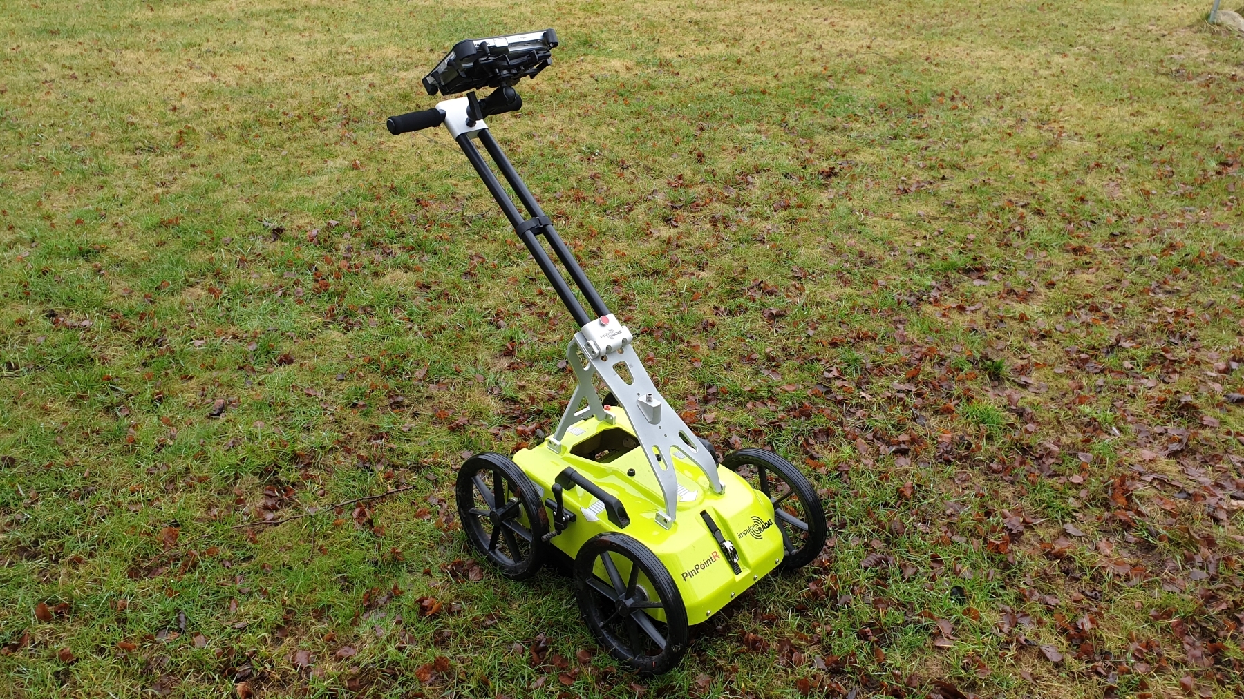
PinPointR by ImpulseRadar used in the survey
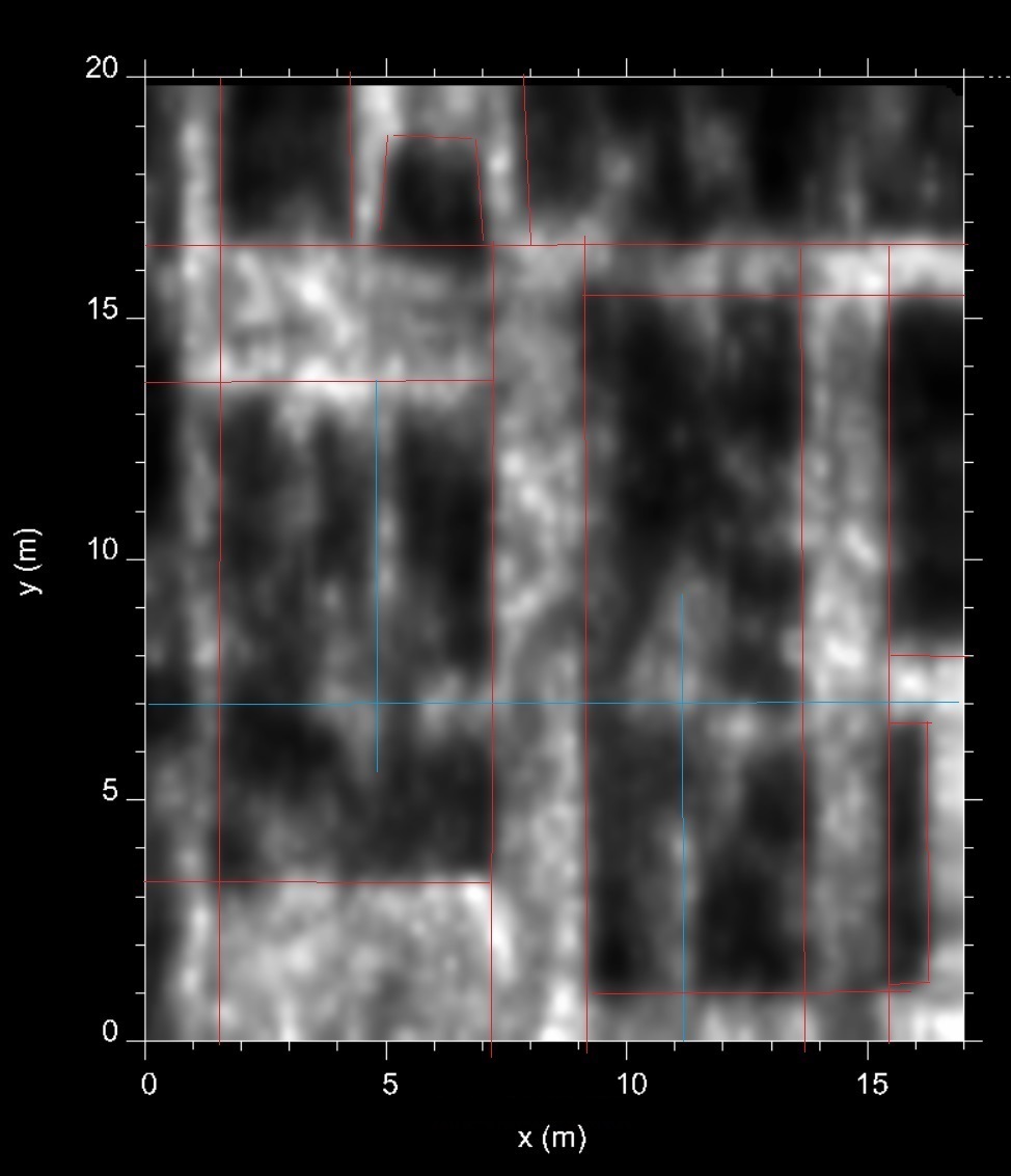
Horizontal section of an old foundation in the ground