
On November 30, 2009, during excavation work on the Lootsi 8 property, a shipwreck was discovered, which was partially destroyed during the excavation. The excavation revealed that the wreck was located at a depth of 3.5-4.5 meters in wet sand. The age of the recovered wood was dated to 1210-1280 AD, making it the oldest known shipwreck in Estonia. During the excavation work, a very simple schematic drawing of the location of the shipwreck was made, on the basis of which a cultural heritage protection area was later established. In the distant future, the landowner plans to develop real estate in the area.
TASK
The task of the GPR survey was to determine the extent and boundaries of the shipwreck so that it could be taken into account in real estate development or excavated in the future.
SOLUTION
As the shipwreck was located deep underground, a low-frequency ground-penetrating radar with waves that could reach the desired depth had to be used. The Impulseradari CrossOver CO730 model, which has two frequencies (70 MHz and 300 MHz), was suitable for the job. Initial surveys were carried out, which revealed that the shipwreck extended further east than expected and that there were several anomalies in the ground that could be of interest to heritage conservationists. Therefore, an even larger area was scanned with the CO730, and the entire survey area was also scanned with a PinPointR radar with frequencies of 400 MHz and 800 MHz.
RESULTS
During the fieldwork and analysis carried out in several stages using GPR, a total of six anomalies were mapped, along with the presumed location of the wreck. It was determined that the wreck was probably a ship approximately 11-13 m long and 4-5 m wide, located in a south-northeast direction and mostly within the cultural heritage protection area, but extending partially beyond the boundary of the protection area to the northeast. Some of the other anomalies corresponded to the locations of structures on historical maps. Anomalies were also identified for which no answers have yet been found. For example, the anomaly shown in the video below, at a depth of approximately 0.7 meters.
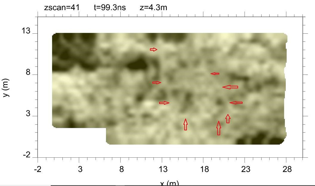
Location of shipwreck on horizontal section of ground surface
Underground anomaly in horizontal section of ground surface in video