
Pühalepa sacred grove is located in Hiiumaa, in the village of Pühalepa, on Otimägi hill. The origin of the sacred grove has been dated to the 1920s by archaeologist Erik Laid. According to his estimates, it dates back to the 1st millennium BC. According to the Cultural Heritage Register, the monument dates back to the end of the 1st millennium BC. On the eastern edge of the sacred grove are ancient Bronze Age stone graves. In the center of the sacred grove, on a rectangular area measuring approximately 1500 m2 and located a few dozen centimeters below ground level, is a large pyramid-shaped stone mound. Large boulders are scattered irregularly around the mound. The mound is approximately 7 m in circumference and 2.7 m high at its highest point. Larger stones can be found at the edges of the square area. In the southern part of the sacred grove, there is an open area of approximately 3600 m2, which has not been given much attention as it appears to be ordinary grassland. There are several legends from different periods about the origin, purpose, and use of the sacred grove. The Pühalepa sacred grove is under heritage protection, but it has never been archaeologically investigated.
TASK
Over the years, several residents of Pühalepa village and the landowner of the survey area have tried to find out more about the origin of the sacred grove and the objects located there. The task of the georadar survey was to find possible underground structures, passages, voids and objects that could help clarify the origin or purpose of the sacred grove.
SOLUTION
As the task of the survey was to obtain an image of the interior of the ground with the highest possible resolution, a Raptor 3D ground-penetrating radar was mainly used to collect data. A CHCNAV i90 RTK GNSS device was used for precise positioning. The permanent network of Hades OÜ was used to obtain corrections. The collected GPR data was processed and visualized using GPR Slice software.
The data was collected and processed in two parts. The first part was a 3600 m2 open area on the southern side of the sacred grove, which had uneven ground (the ground had to be leveled for the GPR survey). The second part was an area of approximately 1500 m2 in the center of the sacred grove, consisting of a megalithic structure surrounded by boulders, which was located several tens of centimeters lower than the rest of the sacred grove and had a smooth ground surface.
RESULTS
As the ground surface in the first part of the survey was very uneven, this also affected the quality of the survey results. Nevertheless, several interesting features were identified and mapped. A large circular structure was visible at a depth of approximately 80 centimeters below the ground surface. In addition, there appears to be some kind of object in the center of the circle. A line running in a northwest-southeast direction was visible at a depth of less than half a meter below the ground surface. This appears to be at least partially hollow. This may be a crack or passage in the ground that starts at the southeast corner of the sacred grove and leads to the megalithic structure. In addition, there were several objects in the ground in this area, some of which were made of metal.
In the second part of the research area, in the immediate vicinity of the megalithic structure, the ground was smooth. According to the cultural heritage register, this is an “area cleared of soil.” The survey revealed that this cannot be a natural clearing, but that these limestone slabs were placed there by humans thousands of years ago. Directly under the limestone slab, at a depth of about 40 cm, there are clear lines. These lines were examined from several different angles and are most likely man-made. It is possible that there was a field at this location and these are plow marks, or that the limestone slabs were brought to the field and a megalithic structure was built on top of them. However, it is also possible that the lines identified in the study mark other objects that were placed under the limestone slabs.
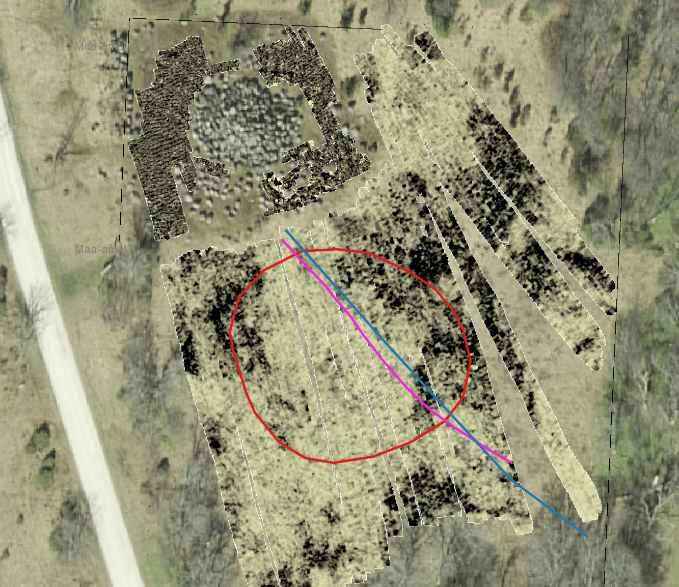
Locations of underground circles and lines detected by ground-penetrating radar

Maapinnast 40 cm sügavusel paeplaatide all asuvad jooned
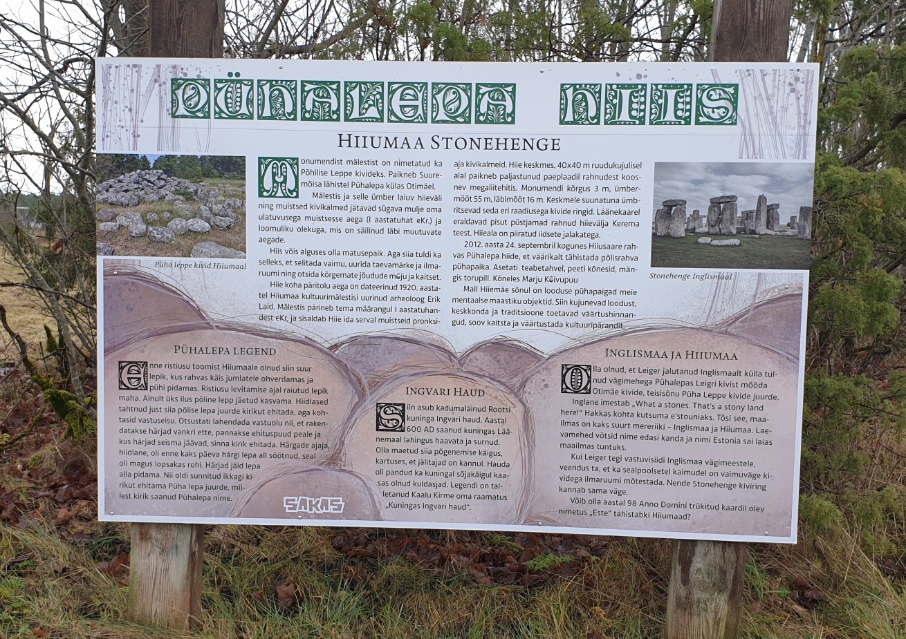
Information board at Pühalepa sacred grove