Services
We perform GPR surveys for various purposes and with different equipment. The main areas of survey are:
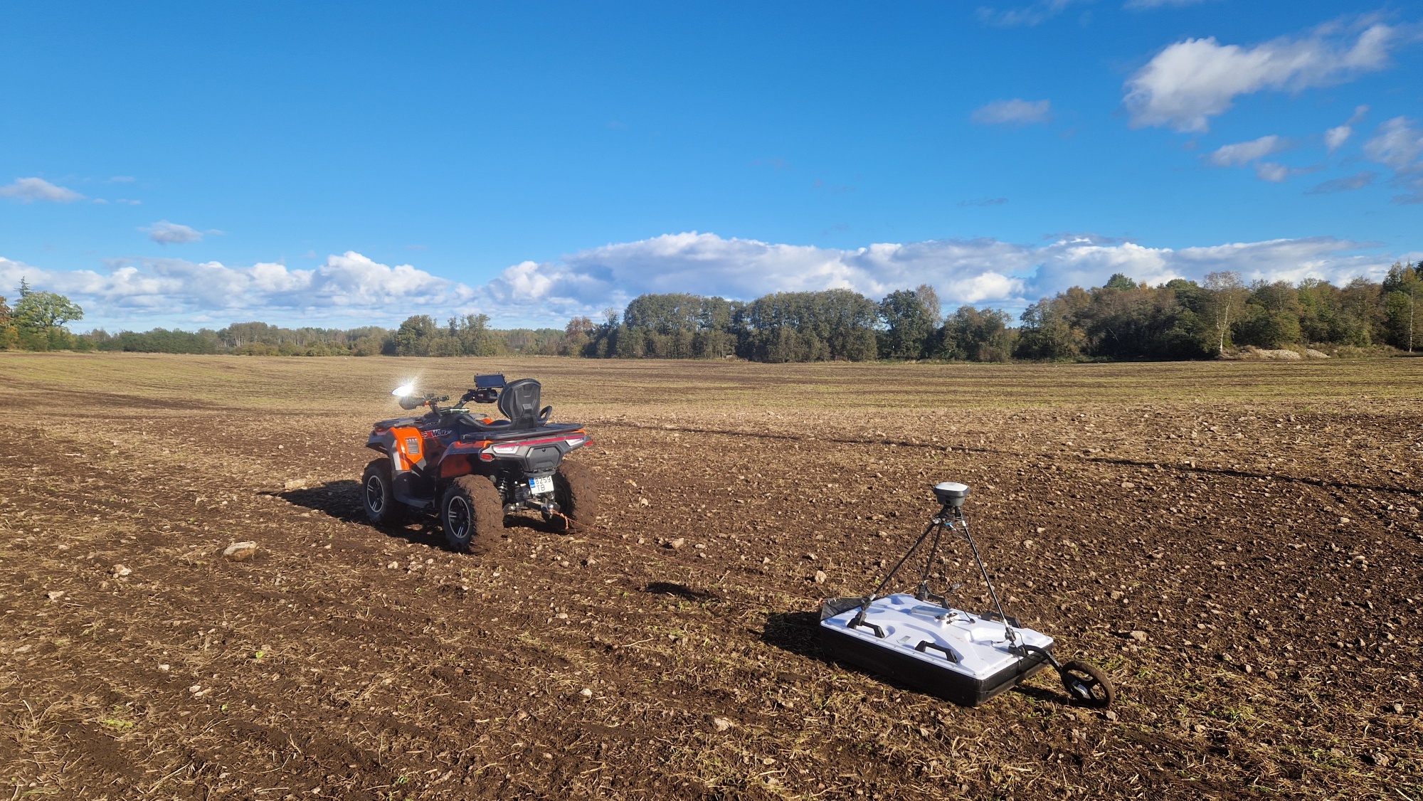
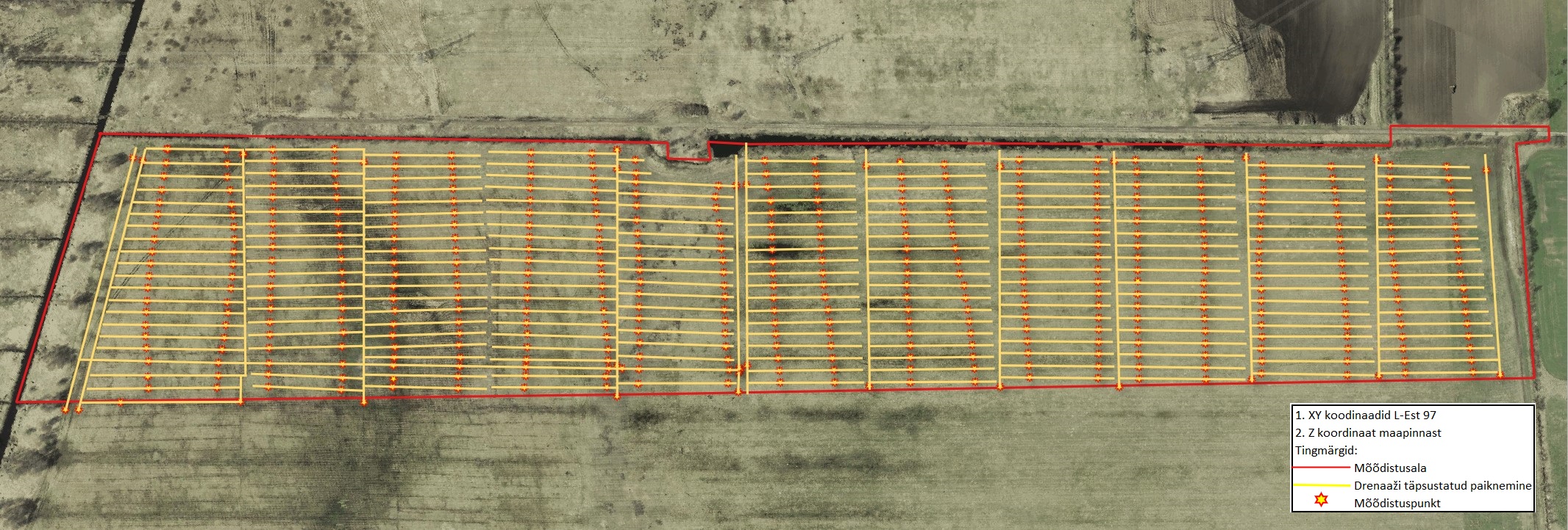
Mapping drainage systems
For the construction of solar parks and other structures on farmland or grassland where a drainage system is located, the location of drainage pipes must be accurately mapped. Although old construction drawings can be obtained from archives, the location of the pipes shown on them does not correspond to reality to a large extent.
We use GPR and RTK GNSS to accurately map the location and approximate depth of all drainage pipes. The result of the mapping is a land improvement system plan in CAD/GIS format for the designer and a survey report for submission to officials.
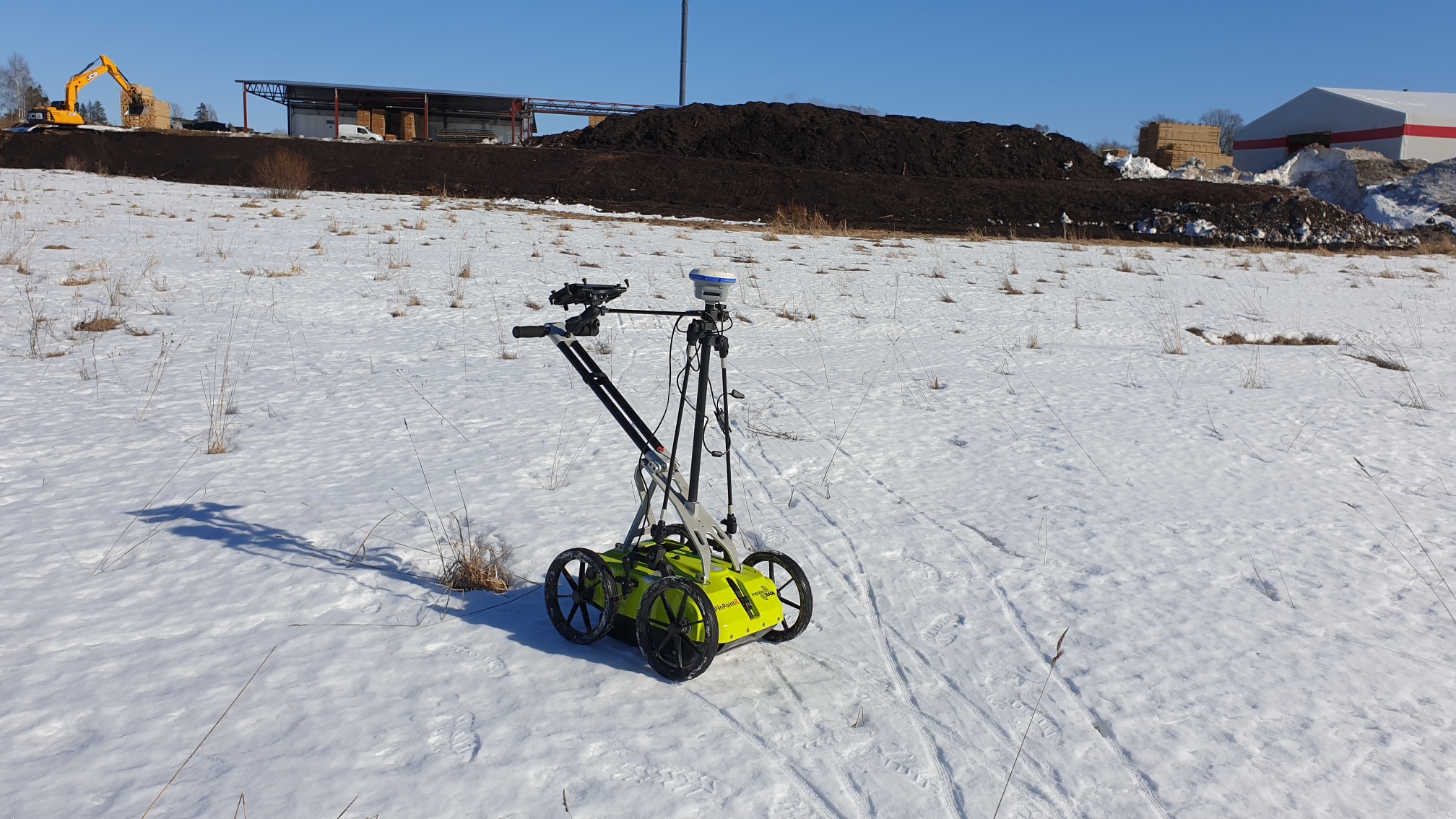
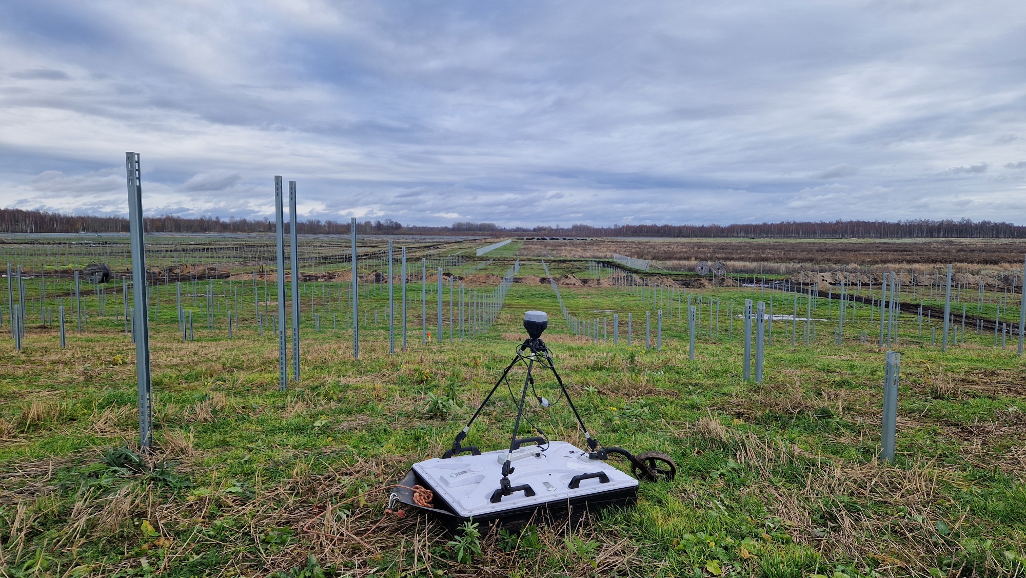
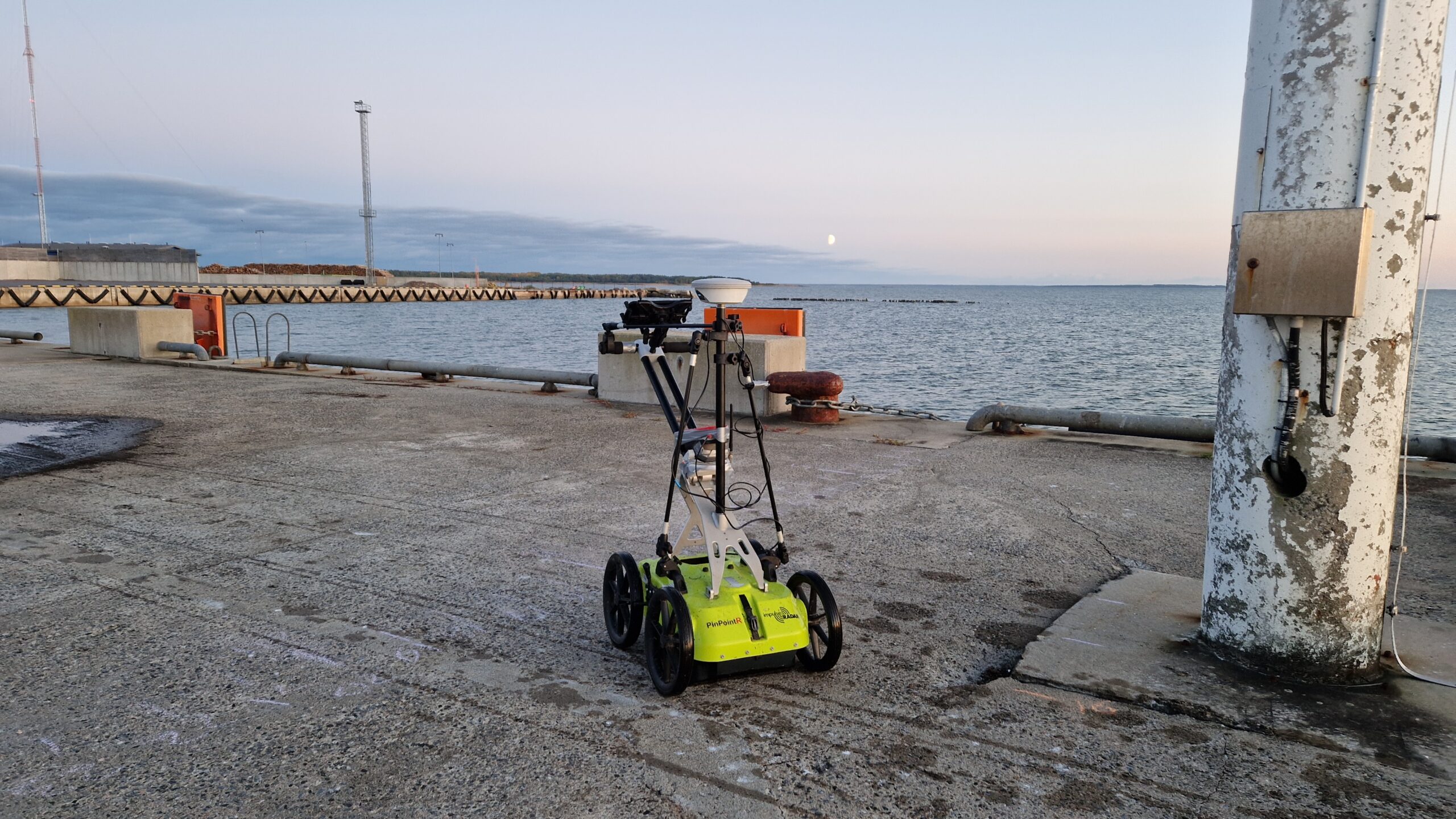
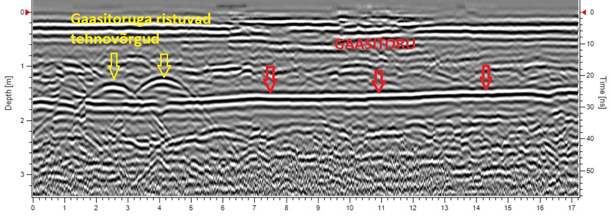
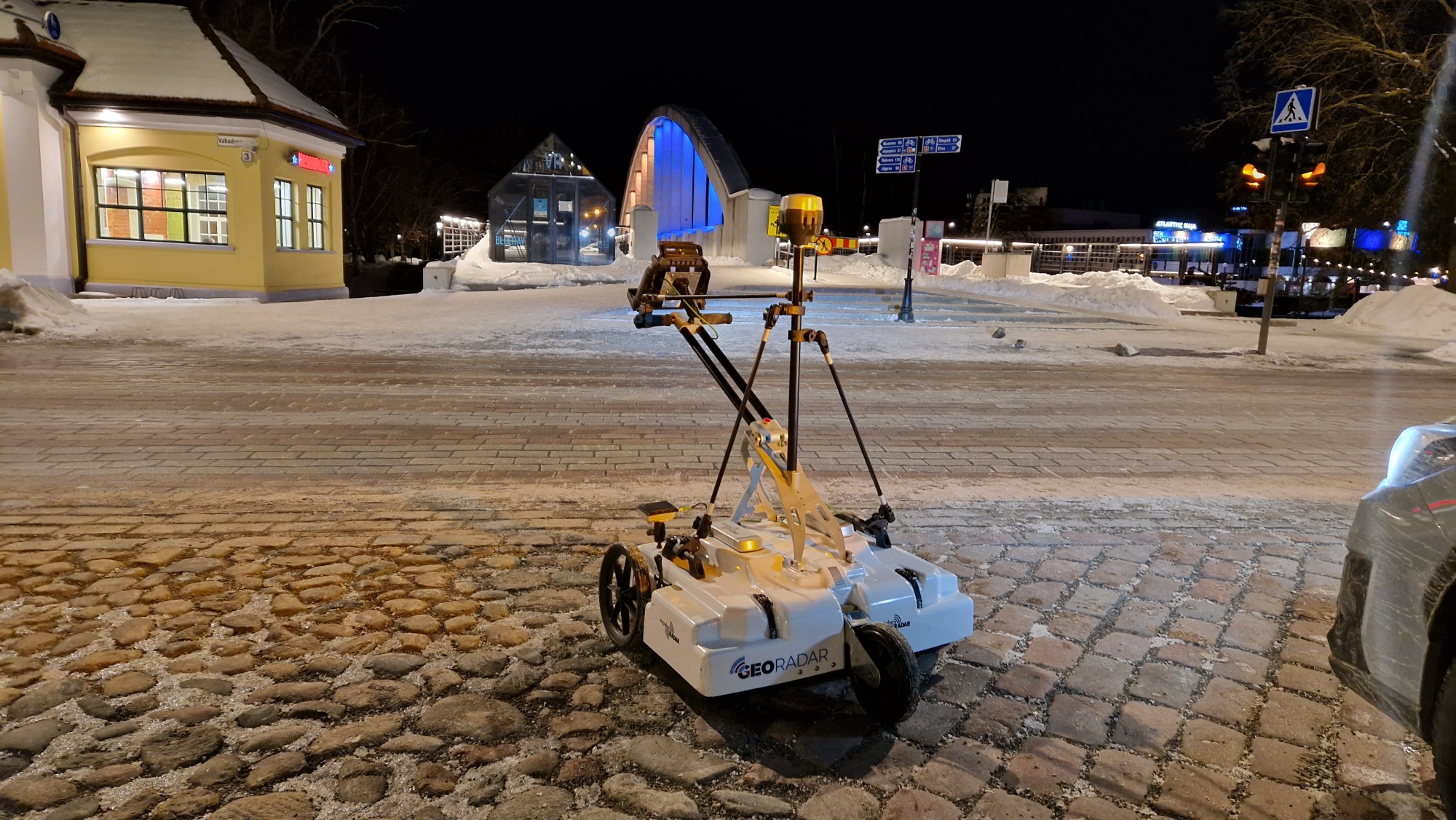
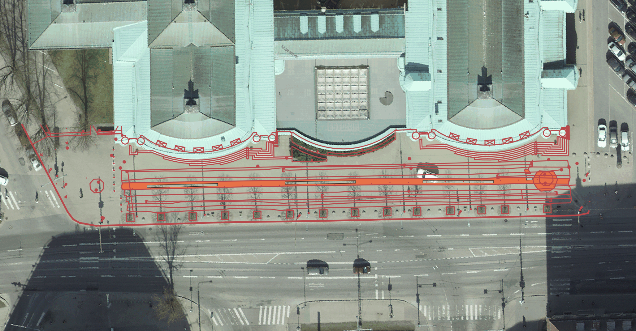
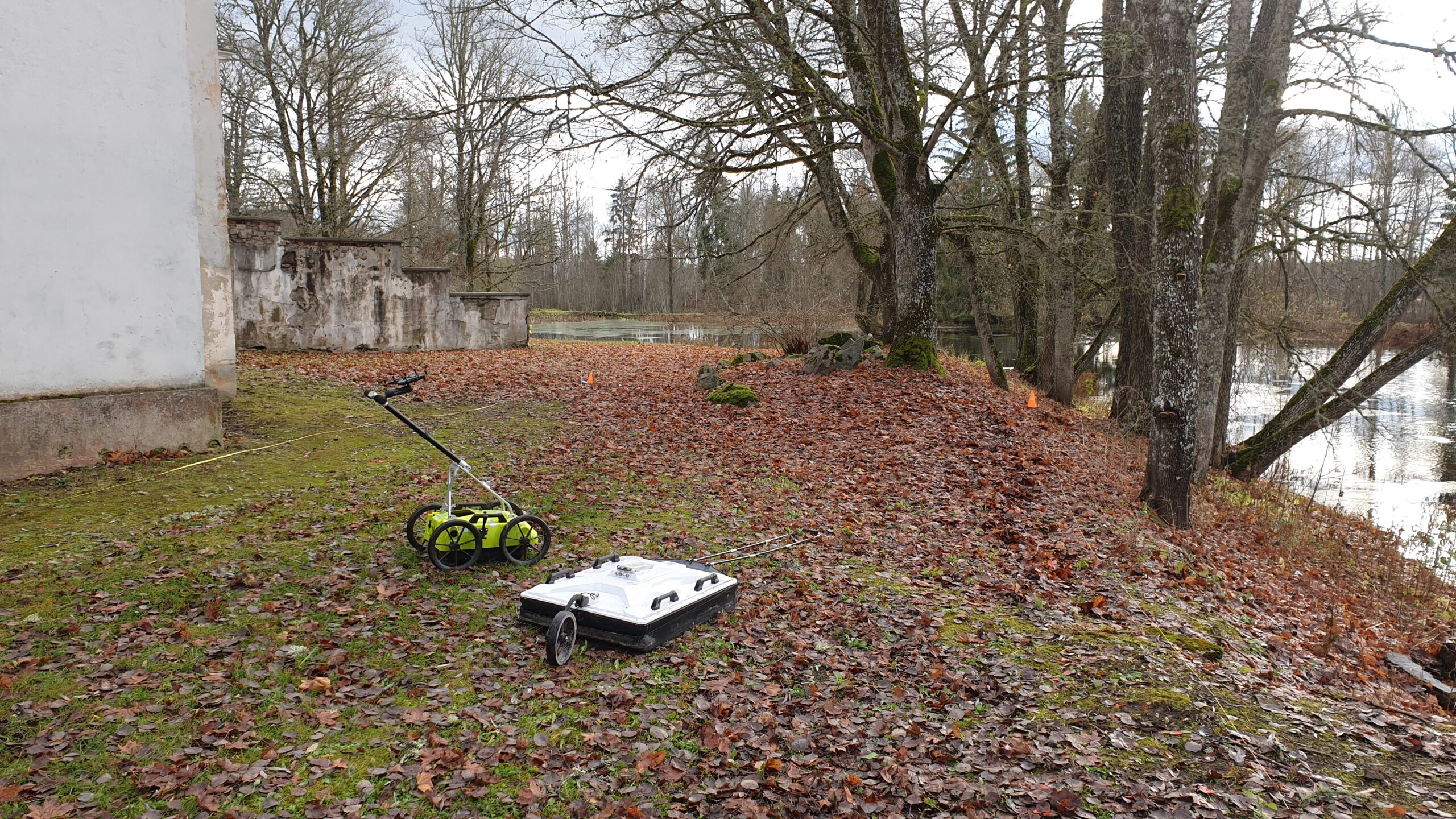
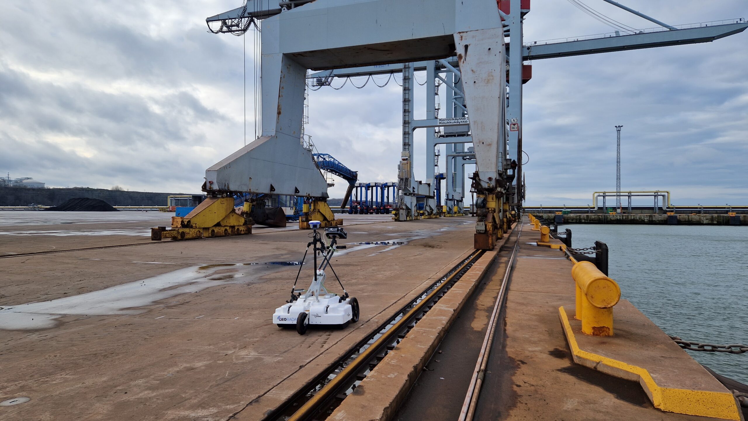
Mapping underground utility networks
For the design and construction of buildings and structures, it is necessary to know the exact location and depth of underground utility networks under and near the planned object. Utility networks are generally marked on the geodetic base plan based on archive material, where their location and depth do not correspond to reality. The use of inaccurate utility network data in design and construction causes additional costs and may lead to accidents.
GPR can be used to search for individual utility networks and to map all utility networks in the survey area, regardless of the size of the area. GPR surveys can also be used to check the accuracy of the location of utility networks on a geodetic base plan or construction drawing. The result of a GPR survey is a map of the location and depth of underground utility networks in CAD/GIS format and various horizontal and vertical cross-sections of the ground in the survey area.
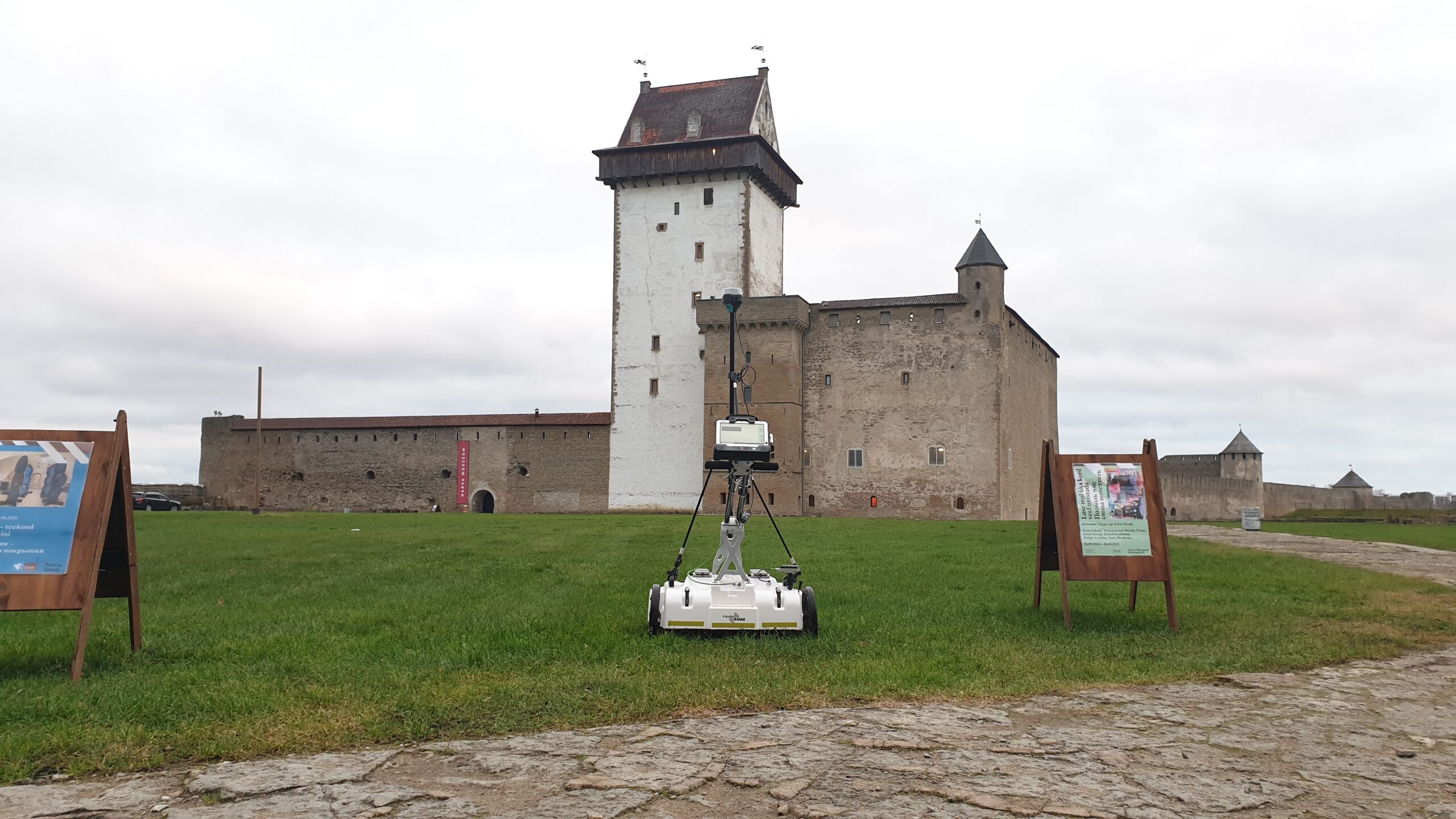
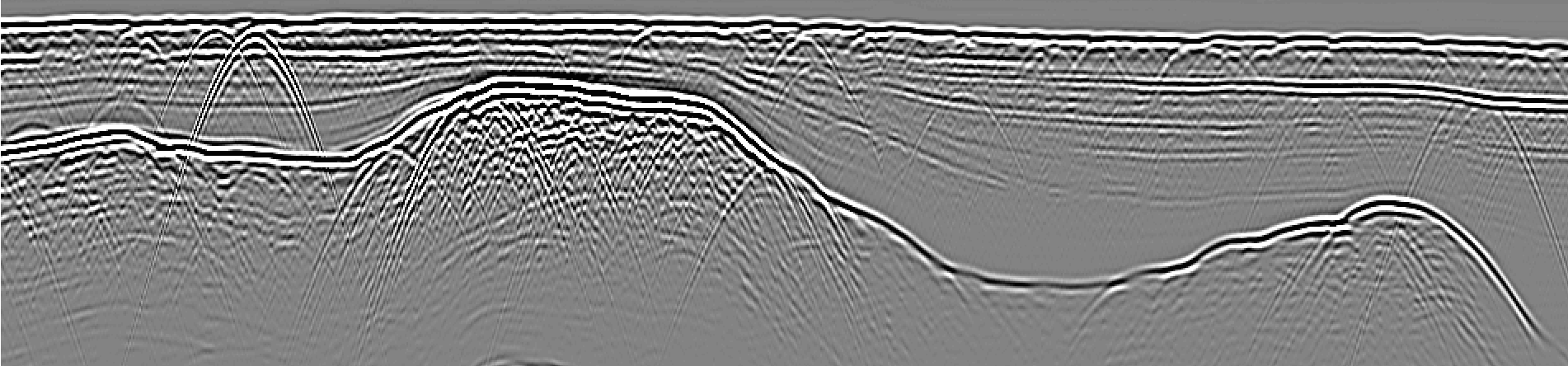
Mapping underground foundations and walls
The exact location of possible underground foundations and walls must be known for the design of buildings and structures, the planning of excavation work, the ramming of sheet pile walls into the ground, and many other purposes. If foundations and walls have no above-ground parts, finding and mapping them using traditional methods is expensive and time-consuming.
GPR can be used to locate all underground structures and visualize and map them. The result of a GPR survey is a visualization of underground foundations and walls in the form of images and videos, and their vectorized location in CAD/GIS format.

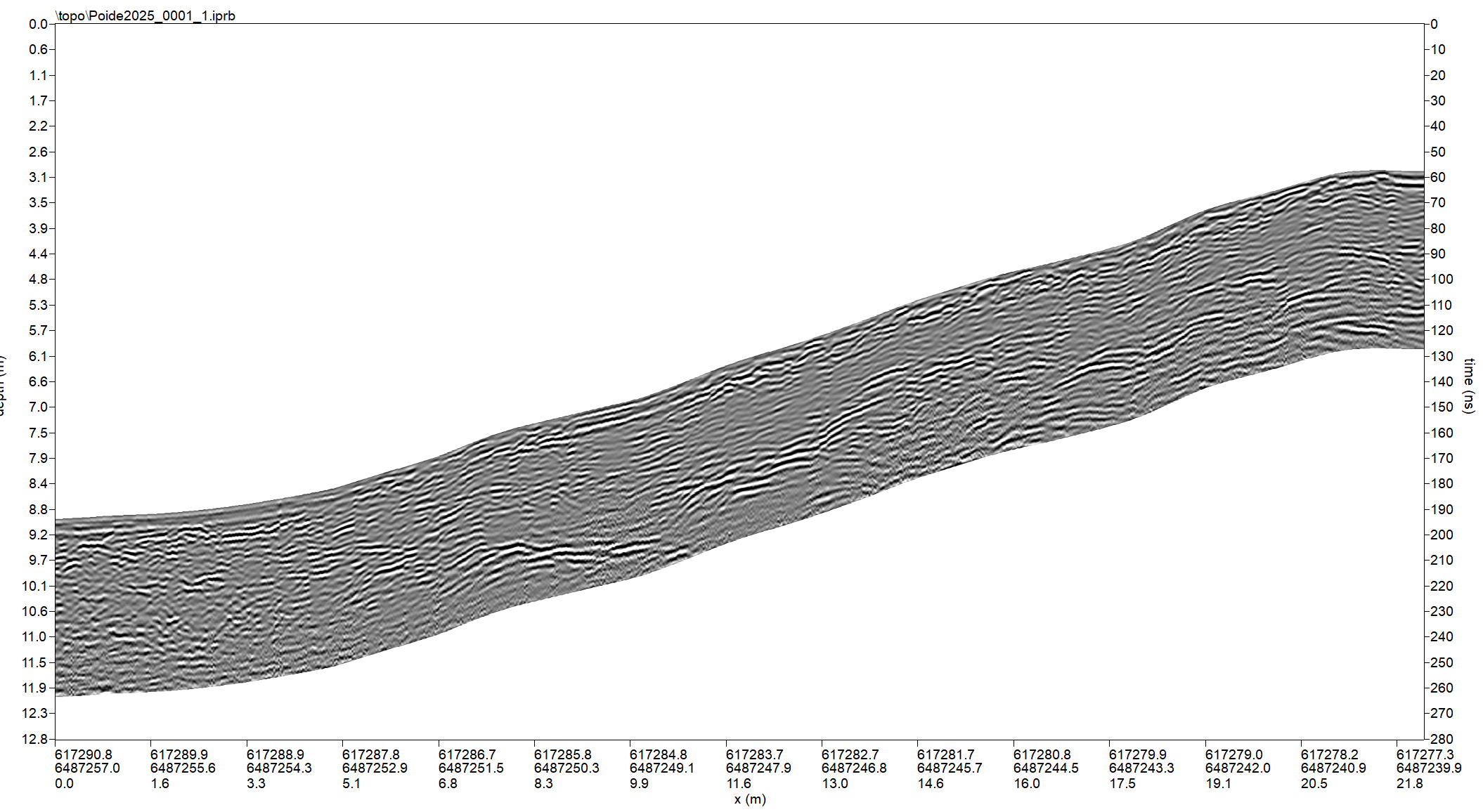
Determining soil layers and searching for voids
Determining soil layers using traditional methods requires drilling holes, which is expensive and time-consuming. Traditional methods cannot detect anomalies in the soil, as their locations are unknown.
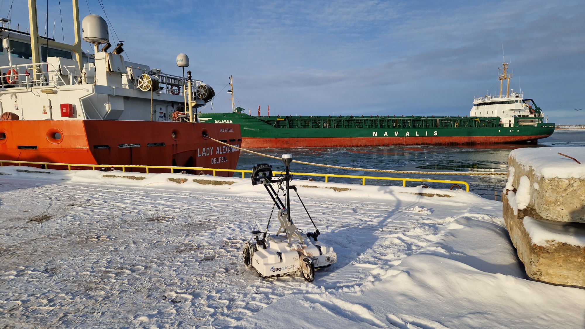
GPR can be used to distinguish between different soil layers, find underground voids, and detect illegally deposited and covered soil and waste. GPR surveys can be used to determine the thickness of different soil layers and map anomalies and their extent. GPR surveys can also be used to plan the locations of boreholes so that they reflect the soil in the survey area as accurately as possible. GPR can also be used to map soil layers in rivers and lakes.
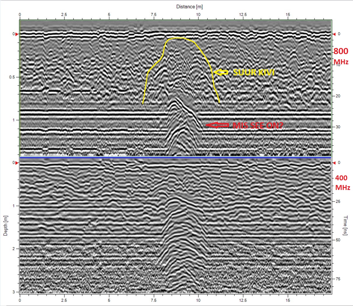
Searching for and mapping underground objects
GPR can be used to find and map both metal and non-metal objects. Objects may have been deliberately hidden recently or may be historical objects. Contact us for more information!
Contact Us!
+372 5035232
info@georadar.ee
© 2025 georadar.ee – All rights reserved